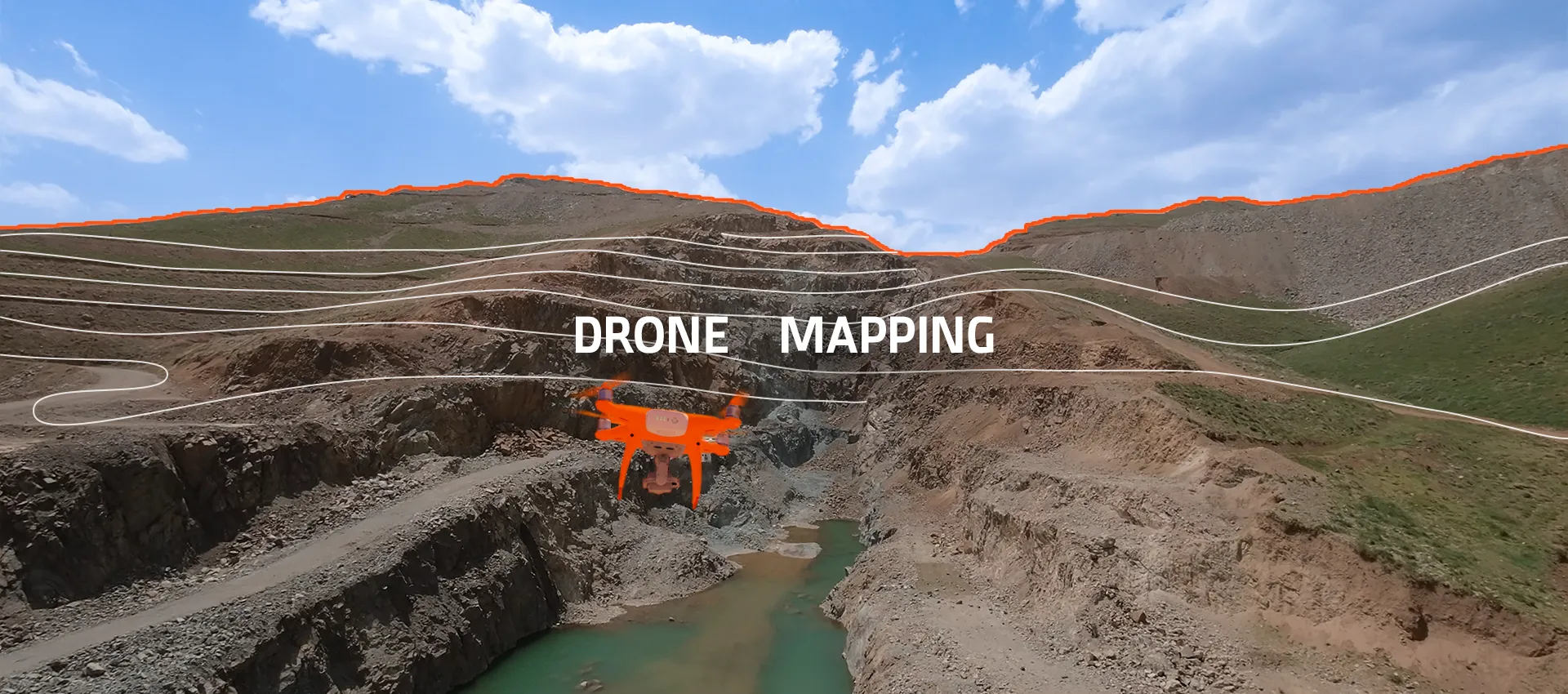
Surveying
Precision and technology at the Morvarid Mining Complex are leveraged at the highest possible level to deliver a realistic, dynamic, and highly accurate representation of current mining conditions. Aerial photogrammetric surveying is conducted using UAV platforms, integrated with high-precision ground control equipment. The combination of drone-based data acquisition and advanced terrestrial instruments—including multi-frequency RTK/PPK GPS systems and Leica total stations—produces datasets with an accuracy of better than 2 cm, forming a reliable foundation for mine engineering decisions.
Within this framework, the following activities are carried out in a systematic and continuous manner:
- Acquisition of high-accuracy topographic maps covering the entire mining area;
- Calculation of extraction and waste stripping volumes;
- Monitoring of pit face geometry and assessment of operational progress over defined time intervals;
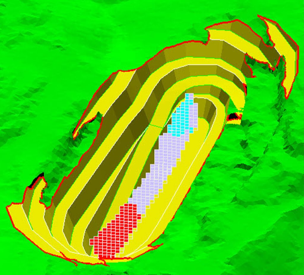
- Generation of three-dimensional models of surface topography and geological formations using specialized software;
- Application of professional software platforms including Agisoft Metashape, MapPilot, Surpac, AutoCAD Civil 3D, and Global Mapper for flight planning, image processing, modeling, volume calculations, and contour generation.
Following processing and accuracy validation, the collected data are converted into Digital Elevation Models (DEM) and high-resolution orthomosaic maps, delivering centimeter-level detail that accurately reflects the mine’s current state. The outcome of this process is not merely a set of maps, but a comprehensive digital reconstruction of the mine’s ongoing dynamics.
Key Outcomes of the Surveying Process
- Reduction of surveying errors to less than 2 cm;
- Significant improvement in monitoring speed and project control at operational scale;
- Three-dimensional analysis of pit faces and stockpiles at any selected time interval;
- Faster and more accurate decision-making based on up-to-date, field-verified data;
- Establishment of an integrated data infrastructure supporting intelligent mine management.